Property specific flood, natural hazard and climate impact risk reports and advisory solutions available for your real estate portfolio
Resilience Begins with Understanding Your Risks
Coastal Risk is a geospatial modeling, data analytics, and risk mitigation solutions company. Our product offerings include: comprehensive flood, natural hazard, and climate impact risk assessments (RiskFootprint™ Dashboard and Reports) and sustainability and resilience-accelerating solutions for buildings, portfolios, and organizations (B-Resilient™).
Our unique technology is “best-in-class” for portfolio risk management, individual asset risk mitigation and science-based strategies to minimize business interruptions, save energy, improve environmental performance and protect long-term values.

REAL ESTATE INVESTORS & DEVELOPERS

GOVERNMENT & NGOs

INSURANCE BROKERS

MORTGAGE LENDERS

CORPORATE ESG/TCFD DISCLOSURES
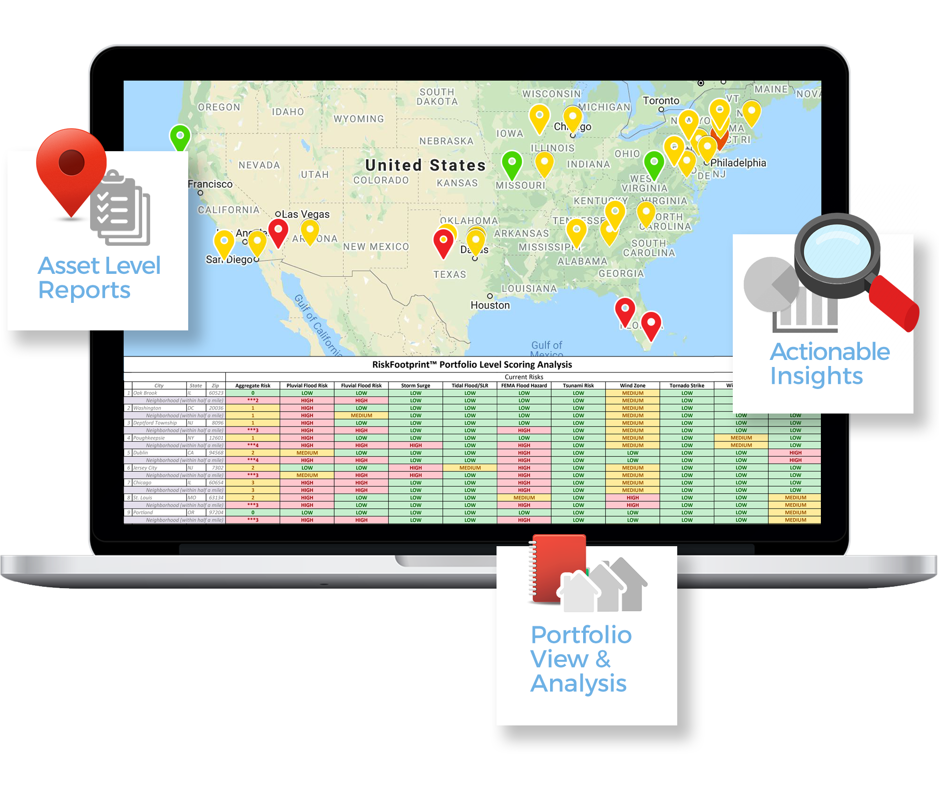
RiskFootprint™ Portfolio Dashboard
a fully integrated dashboard with actionable data & reports for your real estate portfolio

Interactive map
Clickable map displays assets and qualitative risk scores

risks Assessments
Nine columns of current risks, and four columns of future risks – quantitative and qualitative data

Instant Reports
Enter new property locations to access reports in a few clicks

Aggregate Score
One aggregate score for your portfolio & acquired assets
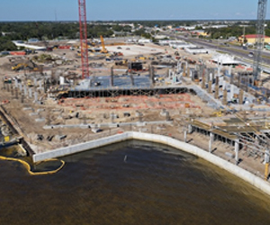
Safer elevations
On behalf of a new waterfront hotel/resort project, we helped the Architects and Engineers of Record determine final elevations for a variety of building types, the marina, and roadways based on RiskFootprint™ modeling of flood inundation depths from sea level rise, storm surge and heavy rainfall flooding.
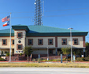
risk assessments
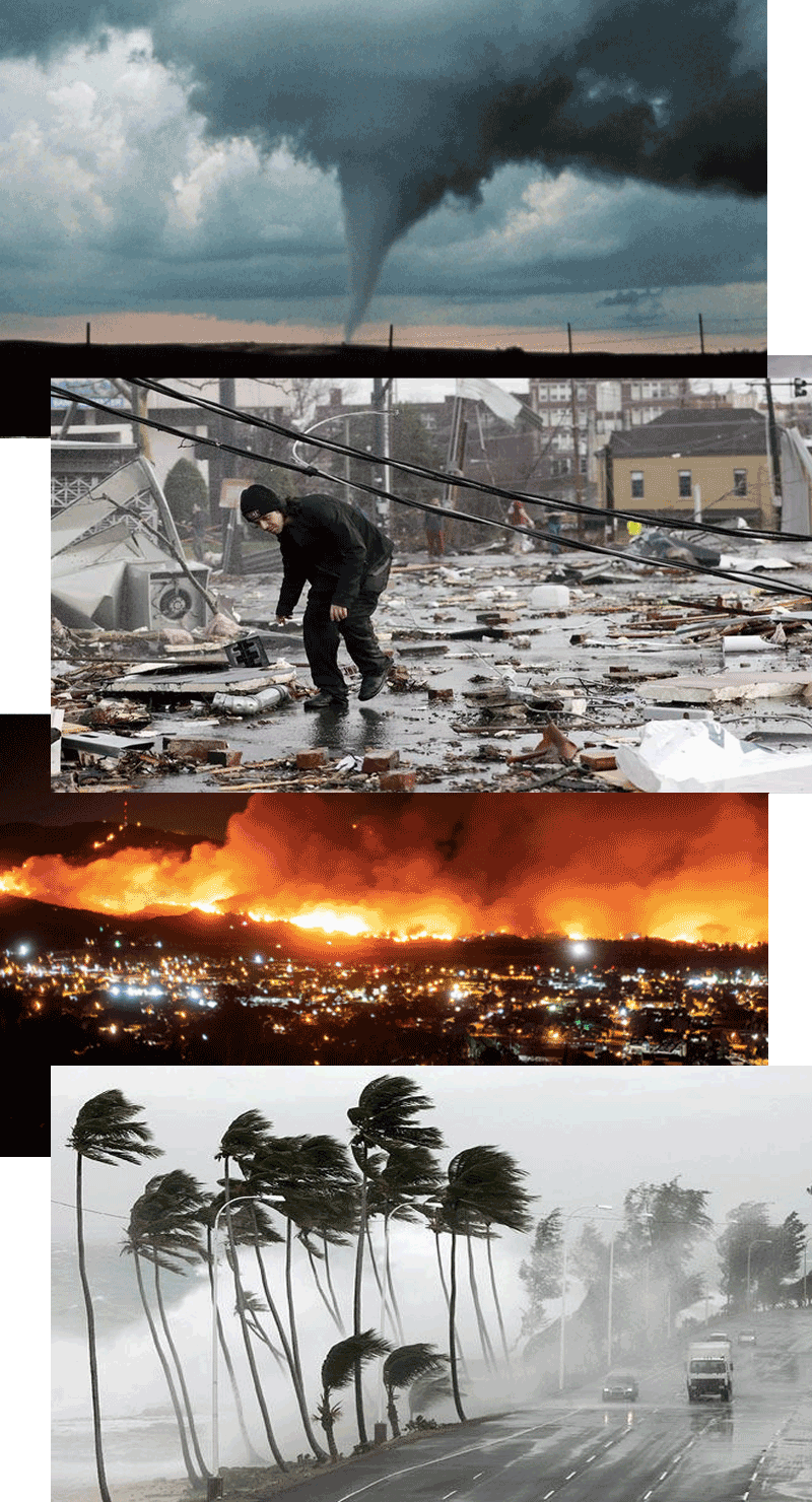
On behalf of NOAA and the National Weather Service, we provided comprehensive, RiskFootprint™ assessments for floods and natural hazards (wind, tornado, wildfire, and earthquake) for nearly 300 sites across the US, including sites in Alaska, Hawaii and Puerto Rico.
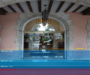
Retrofit Designs – Coastal Hotel/resort
On a major retrofit of an existing waterfront hotel/resort, we provided the Architects and Engineers of Record with modeled inundation levels today and into the future and made recommendations to match specific property risks with specific risk mitigation devices, based on the client’s tolerance for risk, budget and insurance coverages. These recommendations included a variety of flood mitigation investments, enlarged roof drains, replacement of older AC chillers, storm sewer inspection/survey and replacement of stormwater pipes that we not functional, upgraded glazing, etc.
commercial loan underwriting
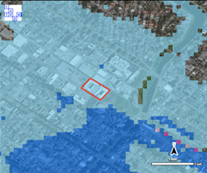
On behalf of a major commercial mortgage lender, we provided detailed inundation modeling and damage/loss estimates for pluvial flood risks inside of the New Orleans levee system. This analysis prompted the lender to require substantial flood insurance in place by the borrower at closing.
Local government risks
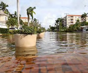
On behalf of the Town of Bay Harbor Islands, we performed a comprehensive Environmental Vulnerability Assessment funded by the Florida DEP. This study provided specific recommendations to make the public and private infrastructure safer, more sustainable and resilient based on our RiskFootprint™ modeling.

Cost/Benefit Analysis & Storm Surge Scenarios
On behalf of a major developer of waterfront property, we provided damage/loss estimates for 4 storm surge scenarios in order to determine the cost-benefit of an added, external flood barrier system to supplement the wet and dry floodproofing already designed into the construction by the Architects and Engineers of Record. These damage/loss estimates make use of our RiskFootprint™ technology and the FEMA HAZUS model.
Resiliency & Environmental
Risk Management

Portfolio Risk Assessments
Resilience & Environmental
Risk Management
EXISTING PROPERTY
The RiskFootprint™ Dashboard is carefully designed to assist with comprehensive property risk assessments as a part of the due diligence process, both for existing buildings and new acquisitions. The RiskFootprint™ Dashboard provides customers with a secure web portal, an interactive map of the US, and portfolio spreadsheet scoring for 14 columns of risk.
“The RiskFootprint™ Dashboard, assesses existing properties and their surrounding neighborhoods qualitatively for 9 columns of current risk and 4 columns of future climate impact risks The portfolio-level analysis also provides an Aggregate Score combining current and future risks and also provides fully quantitative RiskFootprint™ reports and an interactive map.
NEW PROPERTY
Assessing risk carefully is an important part of a company’s acquisition due diligence process. The RiskFootprint™ Dashboard and Reports provide an important tool for more rigorous evaluation of a site’s hidden and future risks that may impact a property’s true value. The RiskFootprint™ technology and modeling includes proprietary and open source data that helps clients to understand hidden and future risks that may impact a property’s true value.
We routinely evaluate potential environmental and climate risks that could translate into future liability. The RiskFootprint™ suite of products assess a variety of potential climate impacts as well as direct and indirect energy usage requirements of an asset, green retrofit opportunities, and operating energy costs that can be quantified. These are included in the client’s underwriting of a potential investment.

Real Estate Acquisitions
ESG Due Diligence
Our Mission
Better Risk Awareness – Better Risk Solutions
The Start of RESILIENCE
Five years ago, two world-renowned scientists in South Florida developed a concept. That idea was to create an online tool that would help individuals, businesses and governments become better aware of their risks of coastal flooding due to climate change (sea level rise and storms). With the help of Albert Slap, a nationally-recognized environmental lawyer and law professor, they formed Coastal Risk Consulting. Headquartered in South Florida, the company grew and prospered. However, its clients had properties inland, far away from South Florida and coasts of the US.
UNDERSTANDING RISK
In addition to coastal flood risks, those clients also wanted to better understand their risks from natural hazards (wind, wildfires, earthquakes, etc.) and climate change impacts, such as future extreme heat, extreme rainfall and droughts. Clients demanded real-world, risk solutions to answer the question, “OK, you gave us the bad news; what do I do next?” In response to this demand for risk mitigation solutions, Coastal Risk developed its unique RiskFootprint™ cloud-based technology to deliver on demand comprehensive risk assessment reports and the new, subscription service, the RiskFootprint™ Dashboard platform. Additionally, Coastal Risk’s advisory services arm provides the B-Resilient™ process to accelerate resilience and its Ecosystem of Experts™.
AN EVOLVING COMPANY
And, so, moving forward to the present day, Coastal Risk Consulting has evolved to into a leading, international resource for companies and governments searching for holistic risk awareness and risk solutions. Some of the largest US REITs, Private Equity firms, Commercial Real Estate developers and Lenders, as well as US Government agencies such as NOAA, and the National Weather Service, and many local governments have become clients. We have provided risk assessments in nearly every state, including Alaska, Hawaii and Puerto Rico. For a major international insurance broker, we provided flood risk assessments in Brazil, Peru, and India.
Quality Data. Quality Partnerships.
Contact
Get In Touch
